Геологоразведочные работы
ООО «Вега» имеет огромный опыт в выполнении геолого-геофизических работ различными методами: электроразведка методами магнитотеллурического зондирования (МТЗ-АМТЗ) и зондирования становлением поля ЗСБ, гравиметрические работы собственным парком современных гравиметров, а также геохимические исследования по методу пассивной адсорбции. Основные виды решаемых задач:
- Решение структурных задач при поиске углеводородов (нефть и газ)
- Разведка месторождений твердых полезных ископаемых (золото, платина, сульфиды, кимберлитовые трубки и т.д.)
- Разведка и оконтуривание гидротермальных источников
- Поиск водоносных горизонтов
- Мониторинг состояния окружающей среды объектов народнохозяйственного назначения
ㅤ
Метод магнитотеллурического зондирования (МТЗ)
Основан на использовании вариаций естественного электромагнитного (ЭМ) поля Земли в качестве зондирующего агента. Естественное ЭМ поле Земли является источником электромагнитных вариаций в широком диапазоне частот, что позволяет изучать геоэлектрические свойства среды от первых десятков метров до первых сотен километров. Метод МТЗ и АМТЗ применяется при региональных исследованиях, поиске нефти и газа, поиске ТПИ и гидротермальных источников. Кроме того, оборудование, применяемое для работ методом МТЗ-АМТЗ всё больше находит применение для решения задач ЭМ мониторинга окружающей среды.
Преимущества МТЗ метода перед другими электроразведочными методами:
- Один из немногих разведочных методов не оказывающих негативного влияния на окружающую среду
- Компактный переносной комплект оборудования
- Отсутствие громоздкого внешнего источника сигнала по сравнению с методами с контролируемым источником ЭМ излучения
- Наибольшая глубинность исследования среди всех электроразведочных методов
Оборудование, используемое компанией для выполнения электроразведочных работ:
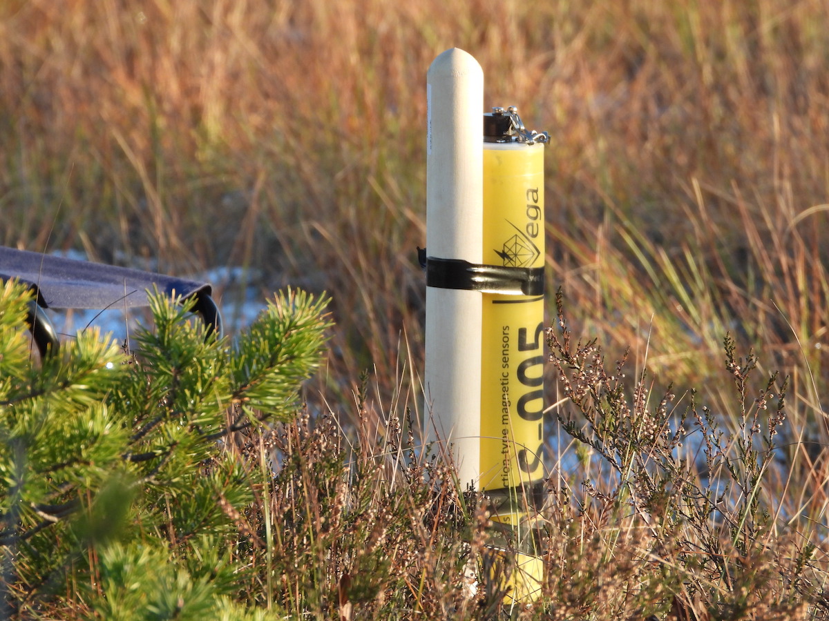
- Магнитотеллурическая станция VMT (разработка и производство ООО «ВЕГА»)
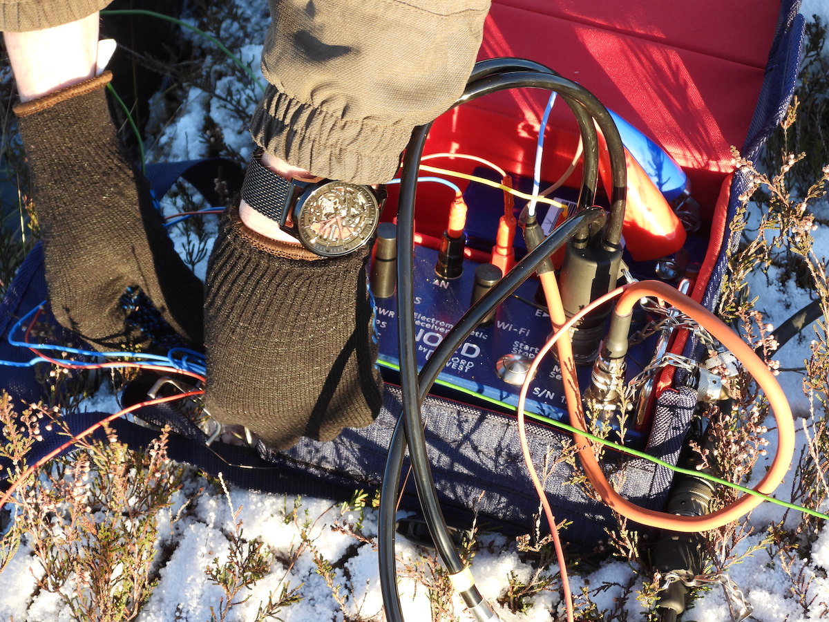
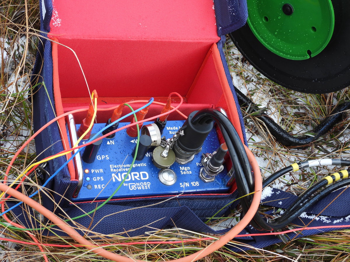
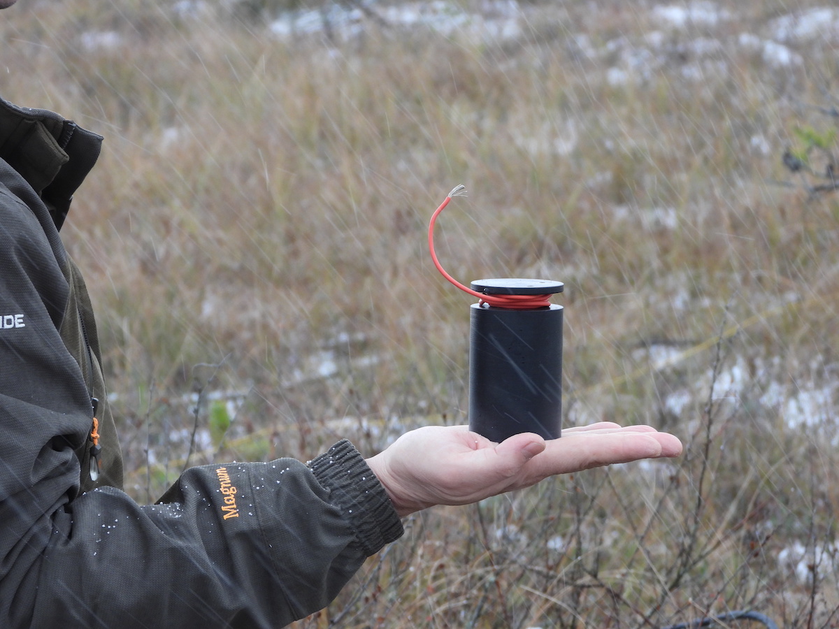
- NORD+ с наборами индукционных датчиков серии IMS, (разработка и производство ООО «ВЕГА» и ООО «Северо-Запад»)
- Неполяризующиеся электроды (разработка и производство ООО «ВЕГА»)


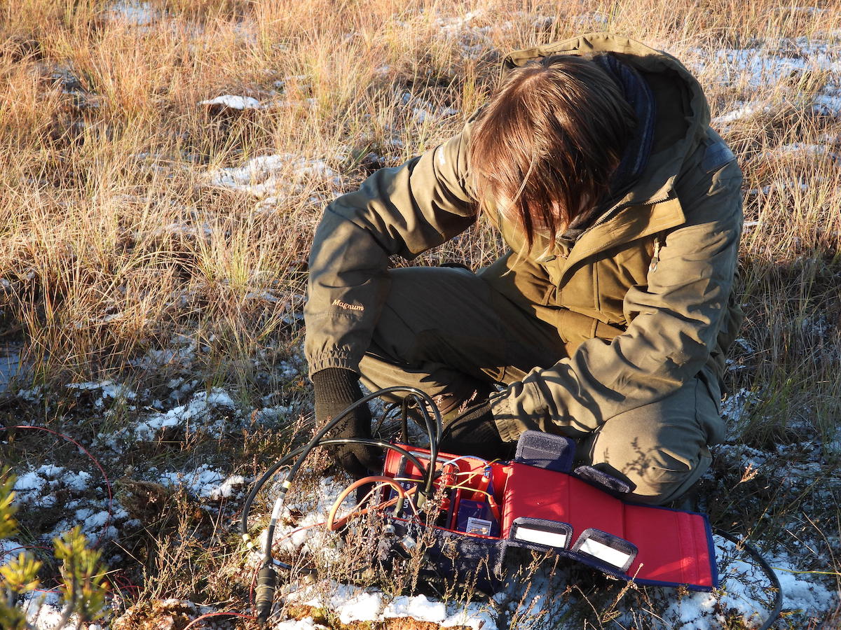
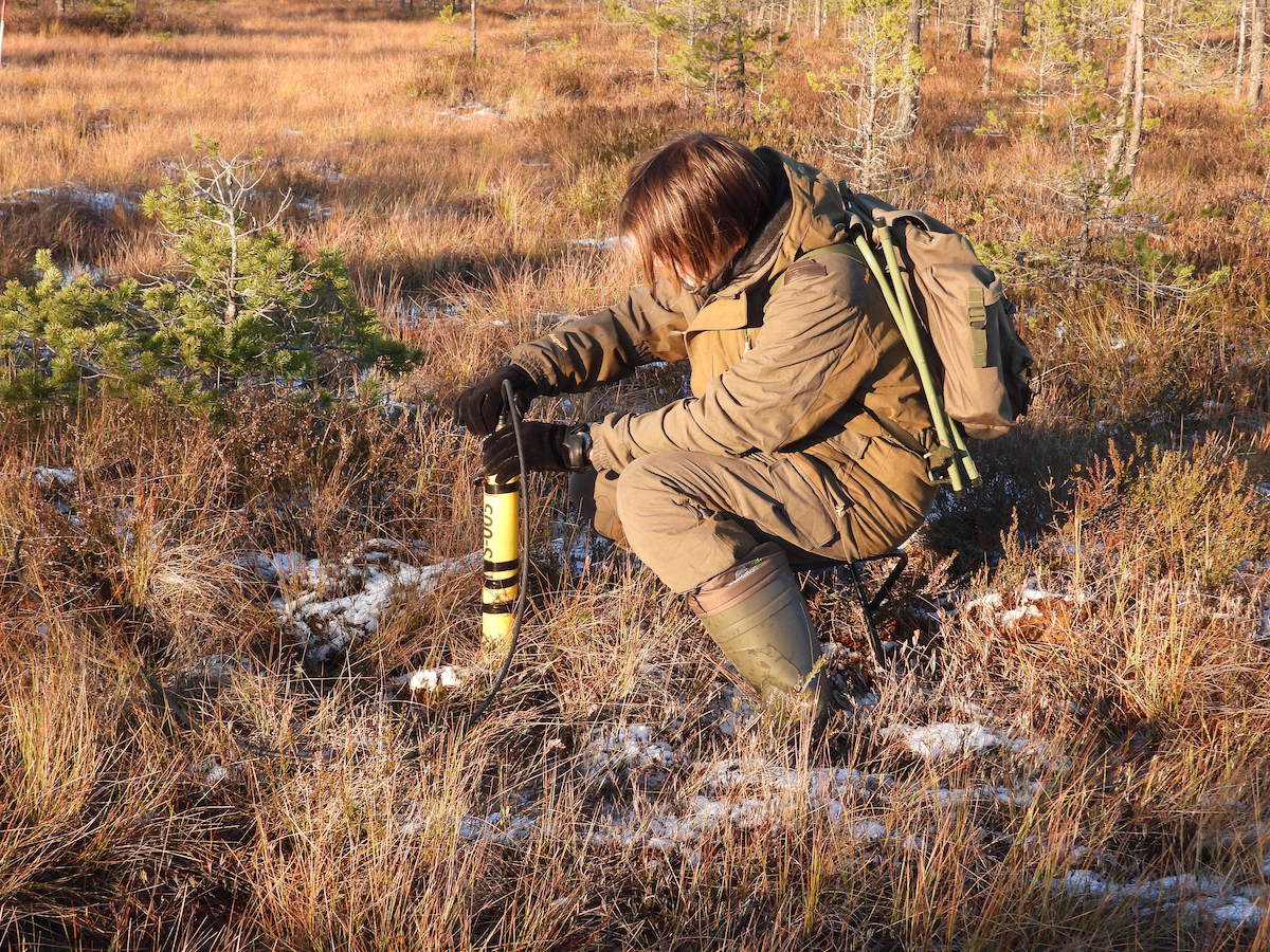


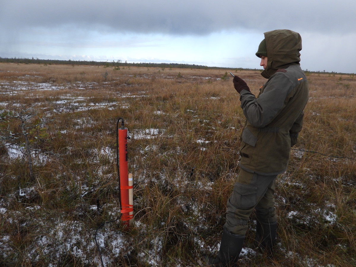

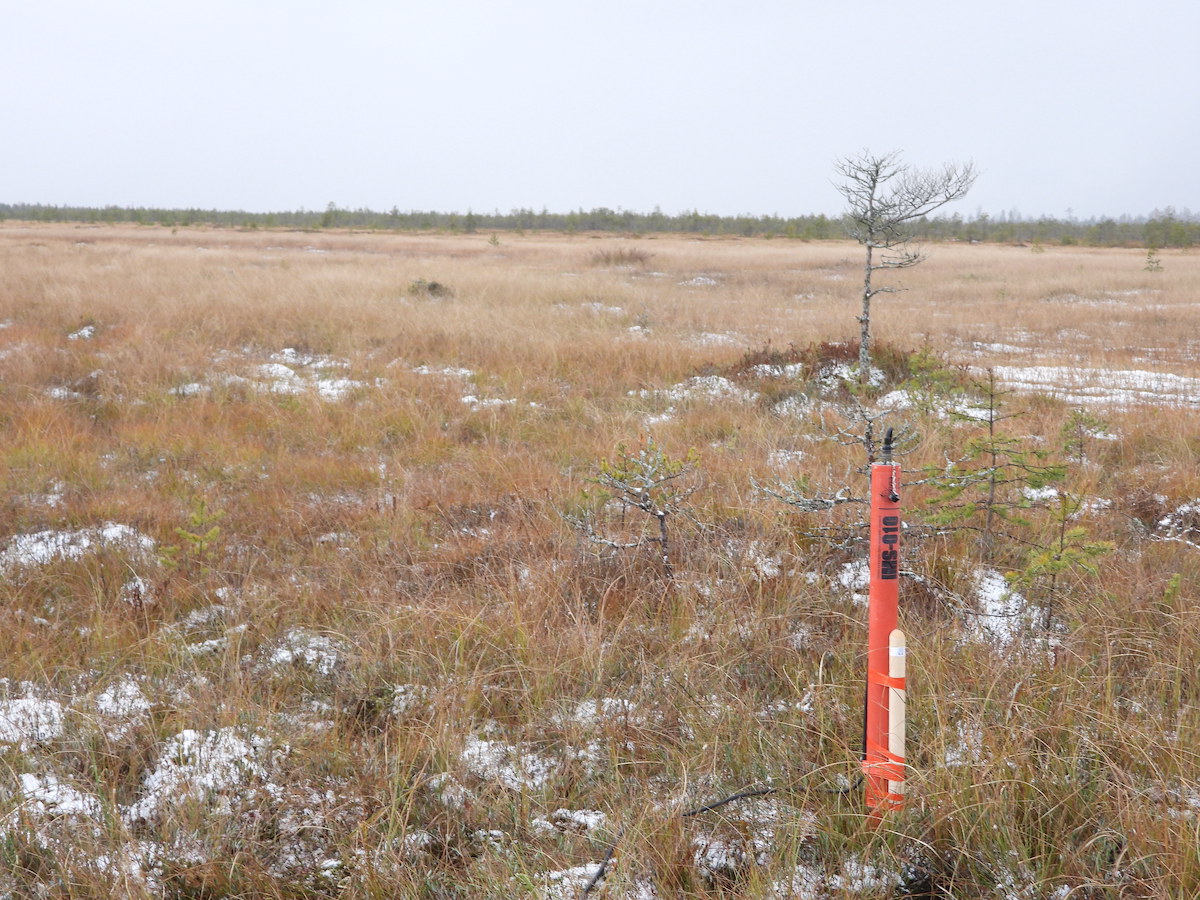


Методика выполнения электроразведочных работ:
Все электроразведочные работы выполняются в соответствии с инструкцией по электроразведке: «Инструкция по электроразведке»: Утв. Министерством геологии СССР 24.12.81. — Ленинград: Недра : Ленингр. отд-ние, 1984. — 352 с.
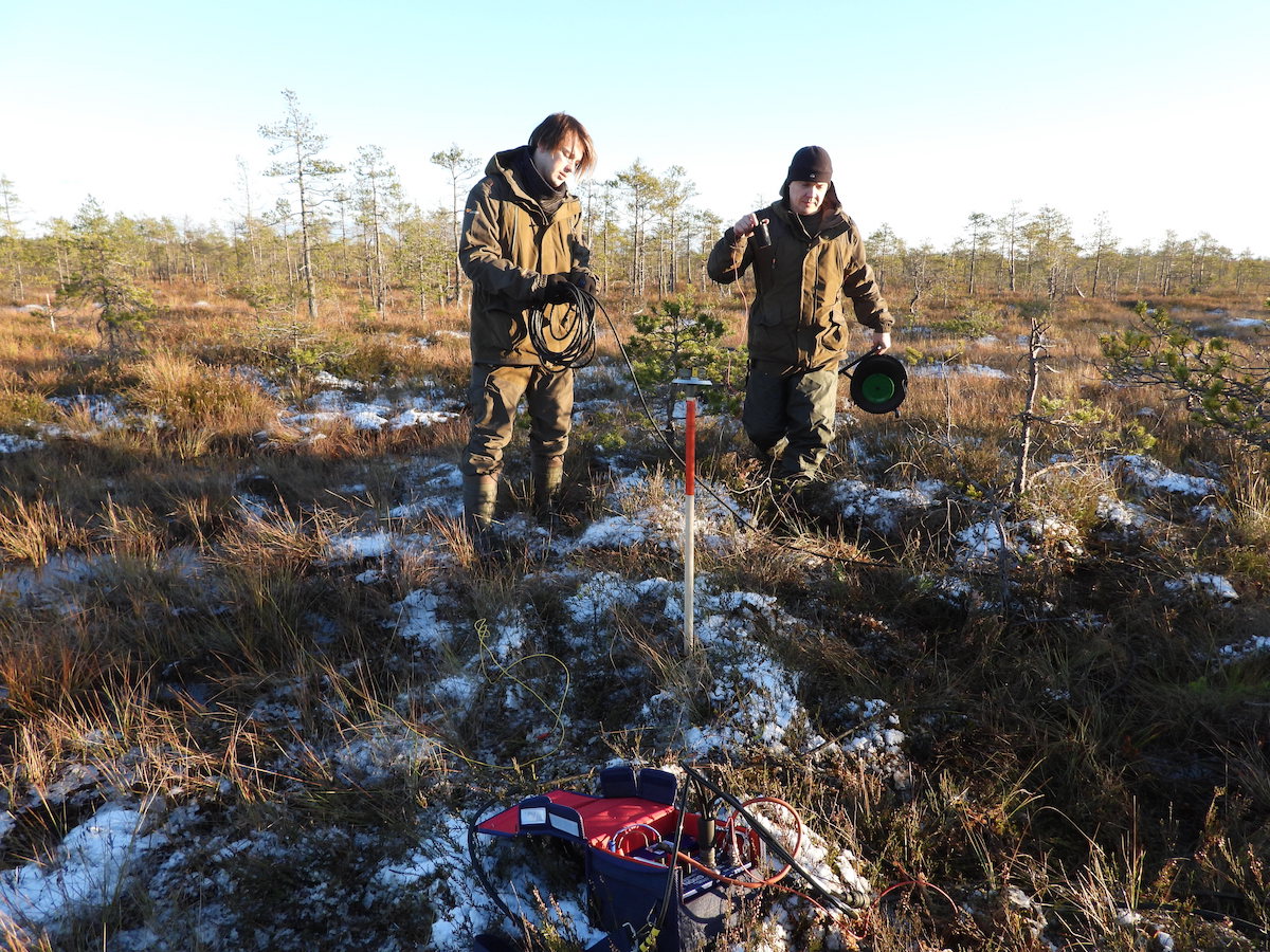
Кроме того, выполняются площадные или профильные работы в зависимости от технического задания, согласованного с Заказчиком. Частотный диапазон измерений (МТЗ и АМТ) выбирается в зависимости от вида решаемой задачи. Для метода МТЗ обычно используется 5-компонентная крестообразная установка для регистрации двух компонент электрического поля и трех компонент магнитного поля. При необходимости, может использоваться технология синхронного измерения на нескольких точках с вынесенной опорной измерительной точкой (remote reference). Это позволяет собрать больше информации об изучаемом разрезе, повысить качество данных за счёт дополнительной фильтрации некоррелируемых шумов и увеличить производительность работ.
Пример интерпретации разрезов, полученных при обработке АМТ-данных (разрезы обезличены)
Гравиметрический метод
Гравиразведка – это метод разведочной геофизики, основанный на изучении поля силы тяжести и его градиентов. Разница в поле силы тяжести возникает из-за различной плотности геологических объектов.
Преимущества метода гравиразведки:
- Относительно высокая производительность
- Высокая точность
- Возможность изучения горизонтальной (латеральной) неоднородности Земли
- Глубинность исследований от первых метров до нескольких сотен километров
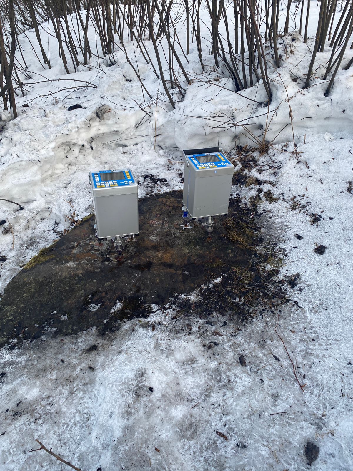
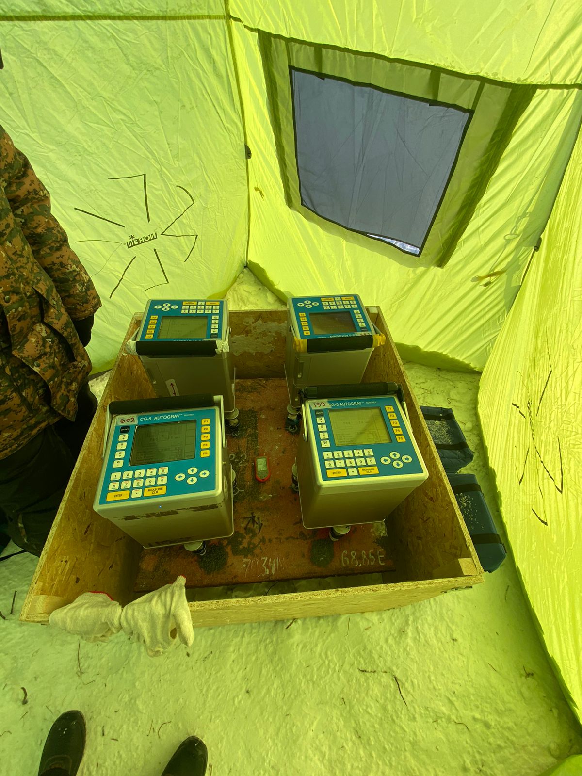
Оборудования для гравиразведки:
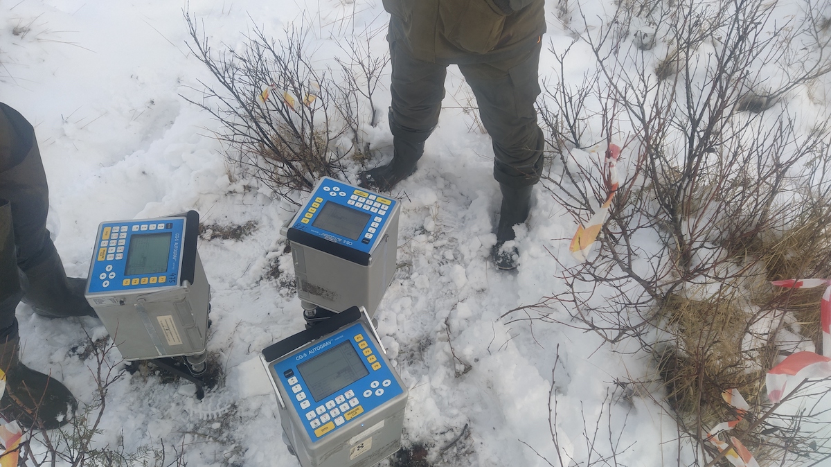
Компания обладает парком современных высокопроизводительных автоматических гравиметров SCINTEREX AutoGrav CG-5. Всё оборудование проходит регулярные метрологические поверки на эталонном полигоне с получение всех необходимых сертификатов, тем самым подтверждая надежность и точность измерений.
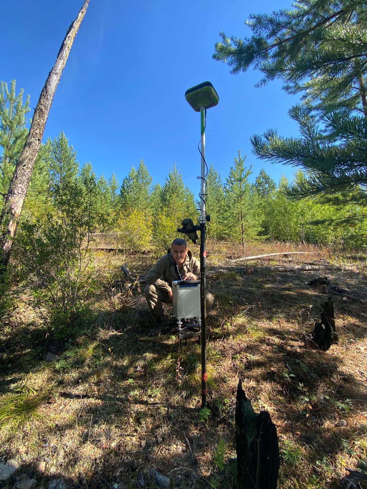
Методика выполнения работ:
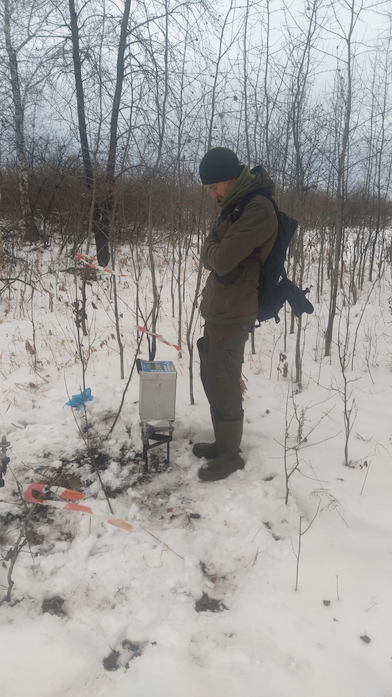
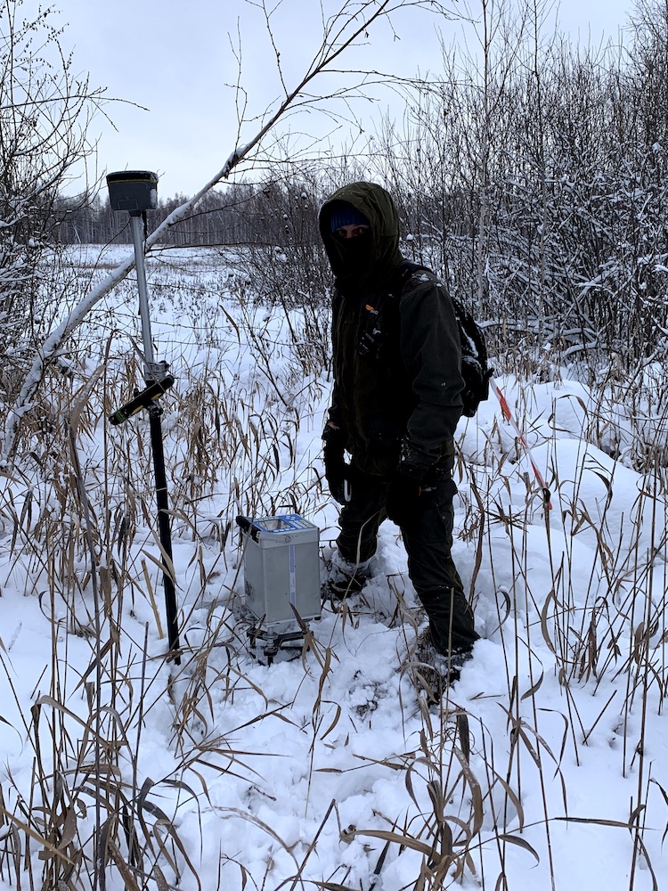
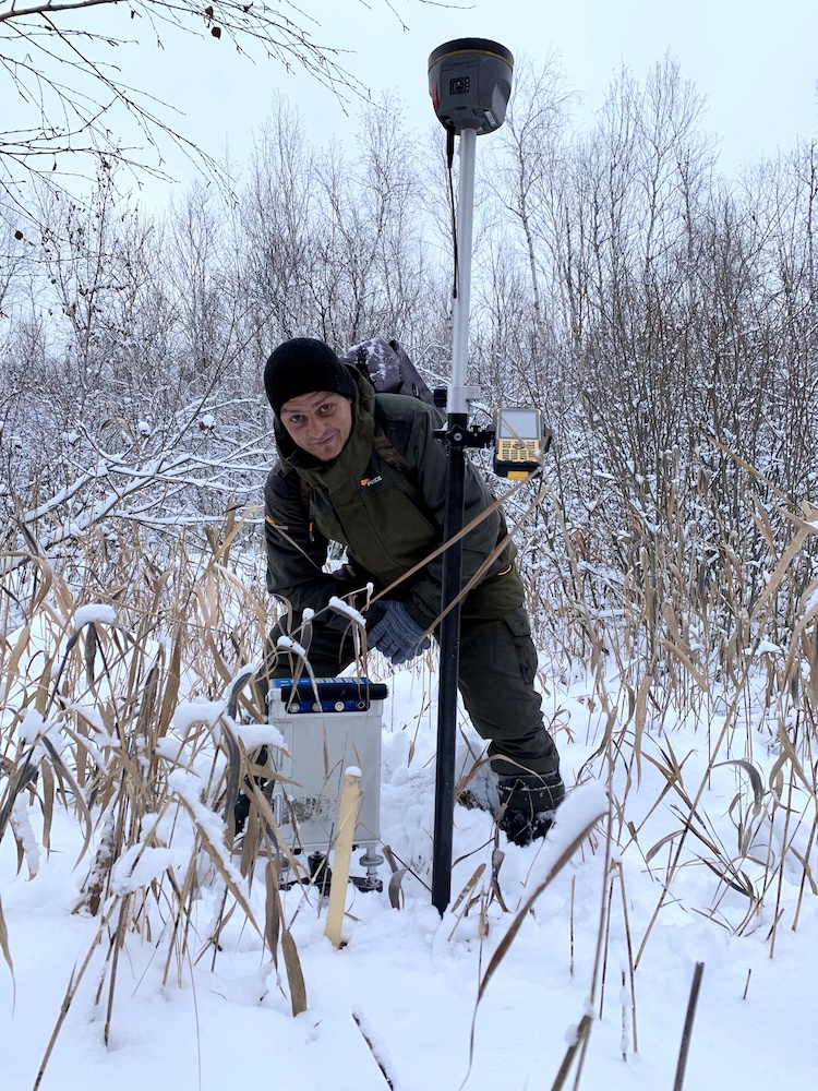
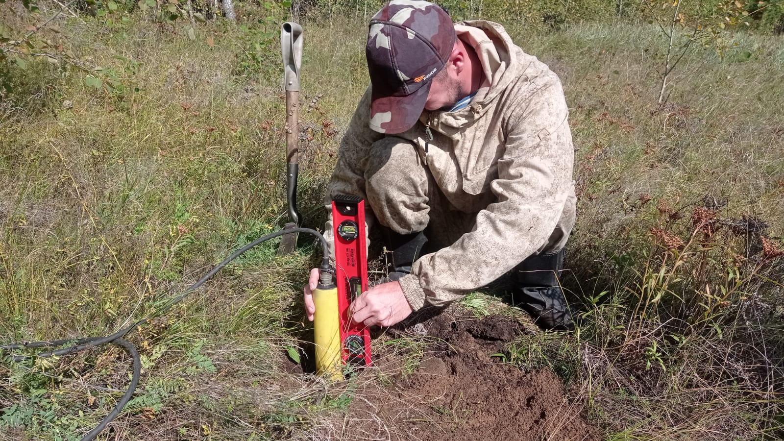
Измерения поля силы тяжести на пунктах гравиметрических наблюдений производятся в условном (относительном) уровне в пешеходных маршрутах. Для учета смещения нуль-пункта гравиметра разбивается опорная сеть, включающая центральный опорный пункт (ЦОГП) и несколько промежуточных опорных пунктов (ОГП), расположенных в непосредственной близости от пунктов рядовой съемки. Для определения планово-высотного положения пунктов гравиметрических наблюдений производятся топографо-геодезические работы с точностью привязки указанной в техническом задании комплексом GNSS оборудования геодезического класса.