На сегодняшний день ООО «ВЕГА» располагает большим парком разнообразного геофизического оборудования и высококвалифицированным коллективом, способным решать различные задачи. Компания проводит геофизические изыскания в рамках коммерческих и научно-исследовательских работ, выполняя, в том числе, полевые геологоразведочные работы в труднодоступных регионах страны, а также за рубежом.
Геотермальные исследования.
Исследование новых геотермальных месторождений.
Ресурсы геотермальных источников энергии на Земле в 10 раз превышают потенциал углеводородных ресурсов.
Геотермальные месторождения на сегодняшний день открыты в 80 странах мира, 58 из них активно используют энергию земных недр. Доля использования геотермальных энергоносителей может быть значительно выше, при этом будет улучшаться экологическая обстановка и снизится расход дорогостоящего углеводородного сырья. Эти доводы позволяют высоко оценить актуальность интенсификации поисков новых и исследование уже известных геотермальных месторождений на любом континенте.
С середины прошлого века основным регионом в нашей стране, где развивалась геотермальная энергетика были Камчатка, Курильские острова, Приморский край. В настоящее время две геотермальные теплоэлектростанции (ГеоТЭС) на Камчатке вырабатывают приблизительно 60 мегаватт.

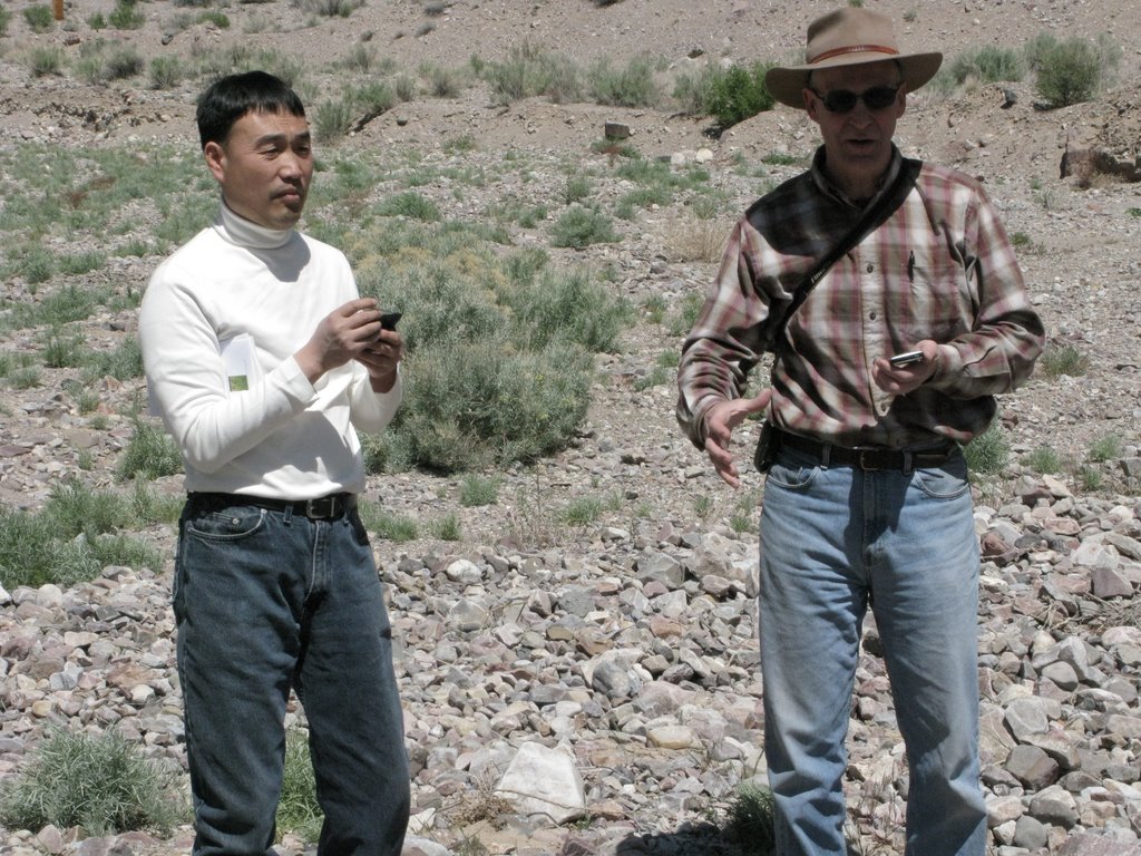
Разведка Верхнее-Мутновского и Мутновского месторождений, на которых базируются эти станции, осуществлялась с применением электроразведочных методов: магнитотеллурического и аудиомагнитотеллурического зондирований (МТЗ и АМТЗ). Кроме того, электромагнитные зондирования выполнялись нашими специалистами на вулкане Хенгиль в Исландии, в горных системах Италии, на острове Реюньон в Индийском океане, на юго-востоке Армении, в штатах Невада и Монтана США.
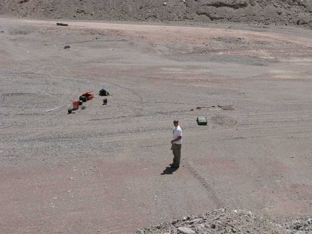
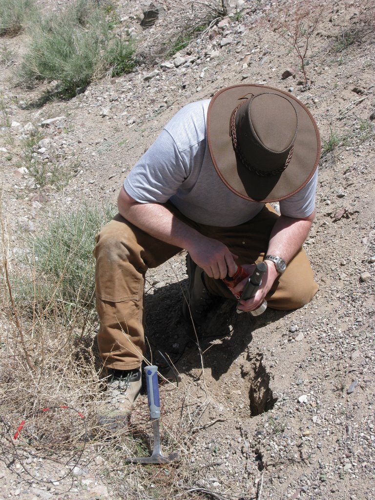
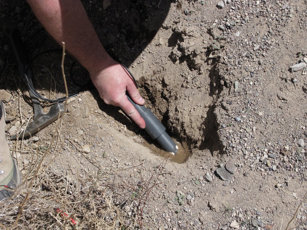
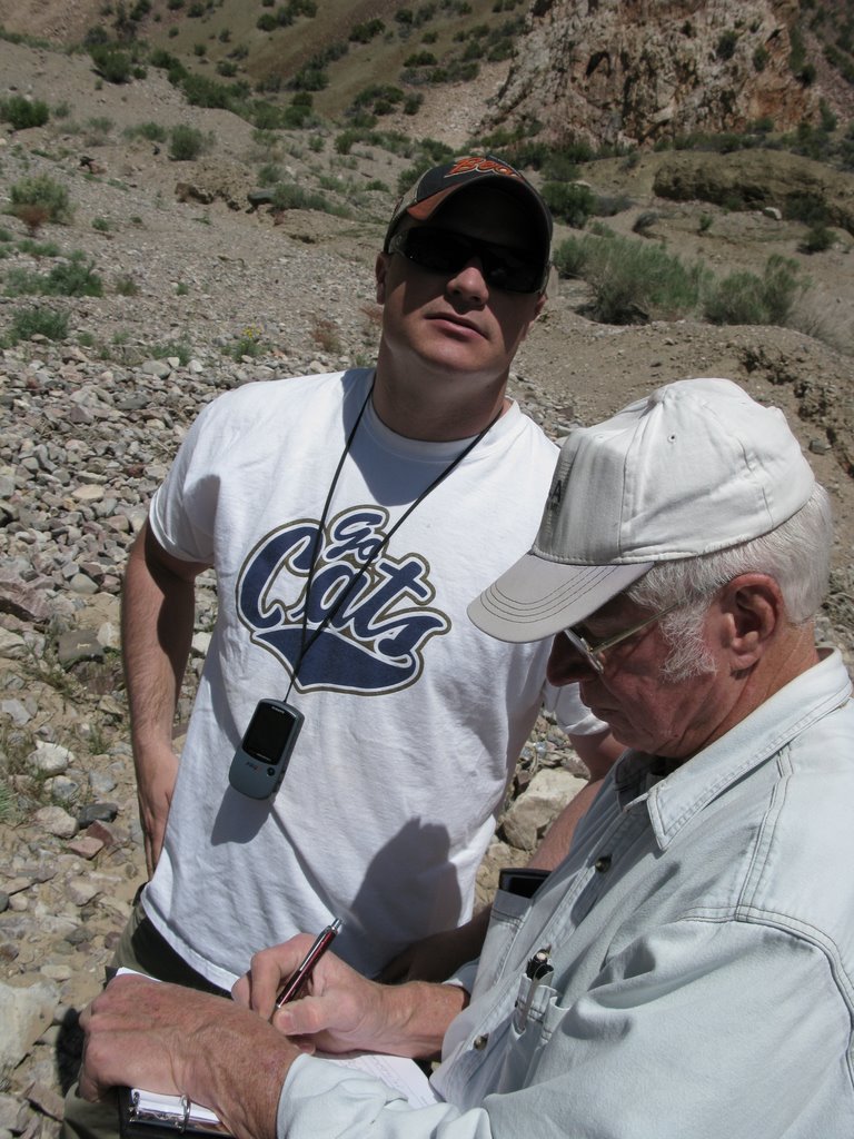
Пример совместного исследования геотермальных источников США, Штат Невада. 2008 – 2009 годы.
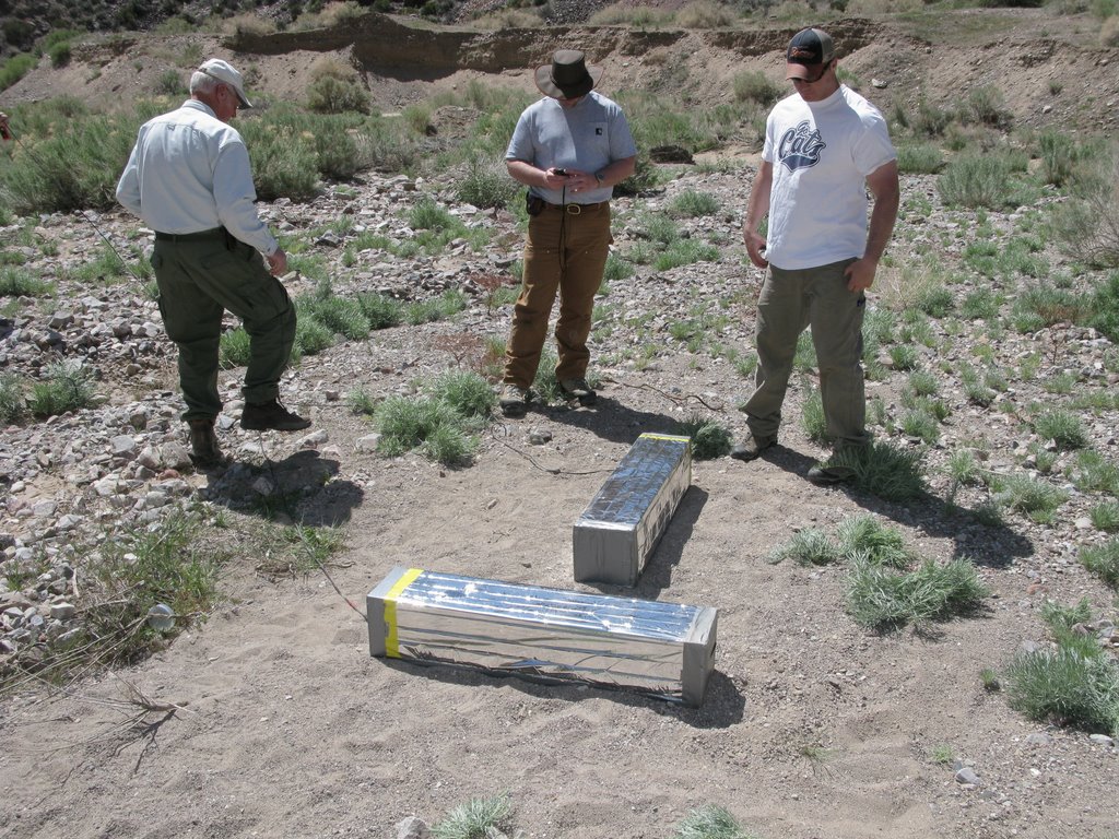
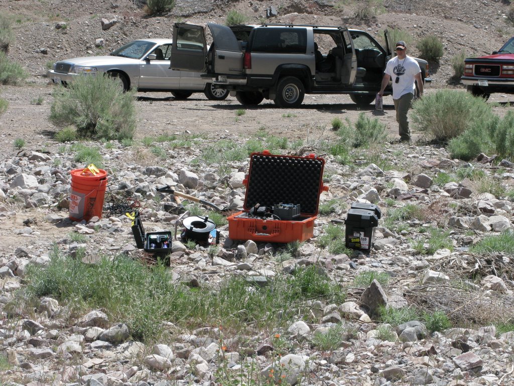
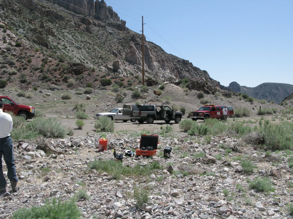
В 2008 – 2009 годах по заказу компании Dewhurst Group сотрудники ООО «ВЕГА» выполняли полевые работы по уточнению положения и оценки ресурсов геотермальных месторождений в ряде штатов США.


По результатам работ, на глубине 400-700 м, выделен наклонно залегающий низкоомный горизонт. Он является единым телом с выходящим на поверхность устьем в виде гидротермального источника.
На объемной модели, построенной по данным АМТ, низкоомный объект на глубинах 400-700 м имеет значительное распространение, а приповерхностный – локализован.
Учитывая отсутствие перекрытия в пределах выхода на поверхность высоко залегающего низкоомного объекта, он должен проявляться на поверхности в виде источника.
В случае отсутствия источника и связи между объектами глубокозалегающий низкоомный объект представляет определенный интерес для поиска термальных вод.


Краткий алгоритм проведения электроразведочных работ при исследовании геотермальных объектов
Основываясь на опыте разведки геотермальных месторождений, выполненных с высокой эффективностью, можно предложить следующую последовательность применения электроразведочных методов магнитотеллурического и аудио магнитотеллурического зондирования.
Первый этап — проведение работ методами МТЗ и АМТЗ по региональному профилю. Результатом должно быть построение геоэлектрического разреза, отражающего наличие аномально низкоомного горизонта в интервале исследуемых глубин.
На втором этапе проводятся АМТЗ и МТЗ зондирования в площадном варианте, прорисовываются карты суммарной продольной проводимости с выделением аномальных участков проводимости в плане.
На третьем этапе проводится детализация аномальных участков и строится модель месторождения с рекомендациями по проведению буровых работ.

Пример построения геоэлектрического разреза по результатам обработки данных
МТЗ и АМТЗ совместно с компанией Dewhurst Group LLC.
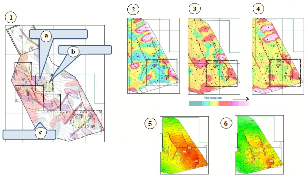
Опыт применения несейсмических геофизических и геохимических методов для решения задач зонального и локального прогноза нефтегазоносности.
Восточно-Европейская Геофизическая Ассоциация более 15 лет выполняет переобработку и переинтерпретациию геолого-геофизических материалов (гравиметрия, магнитометрия, сейсмика и др.) с целью выделения перспективных на нефть и газ зон в пределах крупных лицензионных участков (ЛУ).
Пример выполнения геофизических и геохимических работ на Восточно-Мессояхском и Западно-Мессояхском лицензионных участках.
Обработка материалов включала в себя оценку закона распределения концентраций, стандартизацию содержаний углеводородов в пробах, построение карт распределения этих содержаний по участку работ.
Для каждого определяемого в пробах углеводородного соединения проверялось соответствие распределения концентрации нормальному или логнормальному закону.
Согласно Инструкции по геохимическим методам поисков полезных ископаемых, удовлетворяющими нормальному закону считаются совокупности значений концентрации или физико-химических свойств, для которых критерий Колмогорова не превышает 135%.
На предварительном этапе оценивается качество и полнота имеющихся материалов, при необходимости выполняется оцифровка и составление карт по потенциальным методам. В каждом конкретном случае за основу берутся данные наиболее достоверных и крупномасштабных съемок.
В практике ООО «ВЕГА» работы по переобработке и переинтерпретации геологогеофизических данных с последующим проведением комплекса наземных геофизических и геохимических работ были выполнены: в Тимано-Печорской НГО (Ненецкий АО), на северном склоне Прикаспийской впадины (Волгоградская обл.), на территории Куриинской впадины (блок MOGHAN, северный Иран), на Мессояхском валу (ЯНАО).
Переинтерпретация геолого-геофизических материалов Тимано-Печорская провинция (Денисовский ЛУ).
Огромная территория Денисовского ЛУ по мнению недропользователя являлась слабо перспективной и стоял вопрос о сдаче поисковой лицензии. Благодаря выполнению комплексной переинтерпретации материалов предыдущих исследований и проведению комплекса полевых работ была обоснована высокая перспективность ЛУ и вопрос о сдаче лицензии был снят.

Структурная схема Денисовского ЛУ по данным сейсмических работ

Схема сопоставления результатов интерпретации данных аэромагнитной съемки (АМС) и гравиметрических исследований

Результативная карта перспективных объектов на Денисовском ЛУ и прилегающих территориях
Переинтерпретация геолого-геофизических материалов на блоке Моган (MOGHAN, северо-западный Иран).
Трансформация потенциальных полей
Трансформации потенциальных полей, факторный и кластерный анализы проводились с целью изучения геолого-геофизического строения фундамента и осадочного чехла.


Картирование нефтеперспективных элементов осадочного чехла
По данным гравиразведки выделены положительные структуры II порядка (мегаантиклинали), контролируемые долгоживущими тектоническими нарушениями.
Месторождения УВ и известные локальные структуры приурочены к выделенным мегаантиклиналям.
Выявленные мегаантиклинали являются зонами перспективными на обнаружение ловушек УВ.

Картирование мега-антиклиналей по данным гравиметрической разведки

Картирование мега-антиклиналей по данным гравиметрической разведки

Картирование долгоживущих тектонических нарушений по данным магниторазведки
Геофизические признаки перспектив нефтегазоносности

Распределение псевдоплотности продуктивных отложений

Карта спектрально – амплитудных характеристик магнитного поля

Распределение псевдонамагниченности продуктивных отложений

Выделение зон наибольшей перспективности на нефть и газ

Схема зонального и локального прогноза нефтегазоносности блока MOGHAN. По результатам данных работ Иранская Национальная Нефтяная Компания (NIOC) выделила лицензионные участки и передала их недропользователям.
Определение места заложения скважины на Баяндысской структуре (Денисовский ЛУ)

Области аномальных значений геохимических элементов (по данным геоэлектрохимии)

Области перспективные на обнаружение УВ по данным электроразведки

Зоны эпигенетически изменённых пород

Сейсмогеологическая модель (по сейсмическим данным)

Выявление магнитной аномалии методом магниторазведка

Выявление гравитационной аномалии методом гравиметрической разведки

На основании комплексного анализа геолого-геофизических данных были пробурены 2 глубокие скважины на северном и южном куполах Баяндысской структуры и получены промышленные притоки нефти из органогенно-обломочных известняков верхнего девона.
Прогноз нефтегазоносности по геохимическим данным (метод пассивной адсорбции) на Восточно-Мессояхском и Западно-Мессояхском ЛУ

Выделение участков для проведения полевых геофизических и геохимических работ в 2012 – 2015 годах. (Метод пассивной адсорбции)
1. Области пониженных значений псевдоплотности
2. Оси зон повышенной трещиноватости (гравиметрическая разведка)
3. Зоны эпигенетически измененных пород (магниторазведка)

Участки проведения полевых геохимических работ


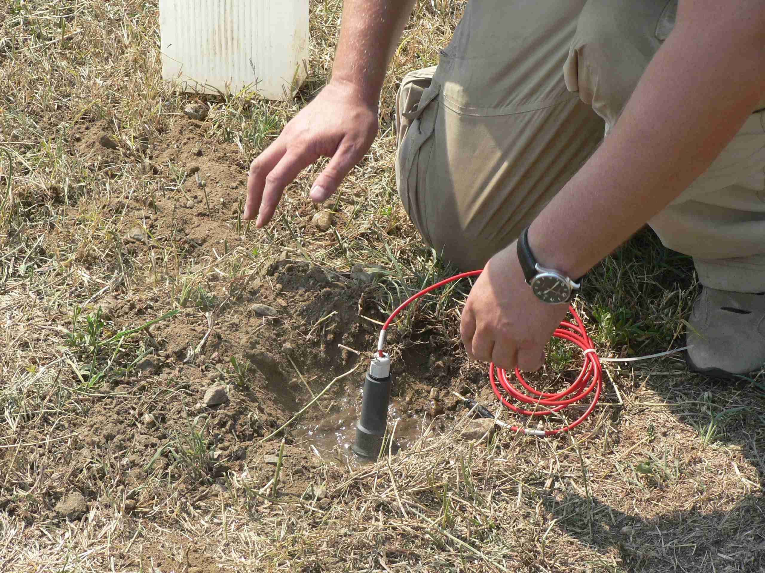
Методика отбора проб (пассивная адсорбция)
Пробоотборник (сорбер) устанавливается в грунт на 17-21 день.
Принцип интерпретации данных по методу пассивной адсорбции

1. Пустая скважина
2. Вскрытая газовая скважина
3. Вскрытая нефтяная скважина
 Местоположение отбора проб почвенного газа
 Нефть
Нефть
 Газ
Газ
 Отсутствие углеводородов
Для получения достоверной характеристики по эталонной скважине необходимо иметь не менее 15 точек наблюдения вблизи этой скважины.
На Мессояхском месторождении при интерпретации геохимических данных эмпирически обосновано использование 10 — 12 скважин в качестве эталонных.
Геохимические работы в 2012 году.


Выделение участков, перспективных на обнаружение УВ в 2012 г.
Подтверждение прогноза по геофизическим и геохимическим данным из презентации заказчика ООО «Газпром нефть» в 2012 г.
- Схема интерпретации геофизических и геохимических данных
- Карта аномальных концентраций транс -1,2 диментилциклопентана
- Карта аномальных концентраций этилбензола
- Карта аномальных концентраций дваметилгептана
- Структурная карта по ОГ Г (2Д – 2010 г)
- Структурная карта по ОГ Г (7 куб, 2013 г.)
Результаты работ геохимическими методами в 2012 году:
- Скважины № 37 и № 205, пробуренные после проведения геохимических исследований подтвердили перспективность выделенных участков по пластам ПК1-3 (скв. 37 получен приток газа, Q газа=33 тыс. м3/сут.), по пластам Мх1 (скв. 205 получен приток Q нефти=31 м3/сут).
- По данным геохимических исследований и электроразведки выделены перспективные участки в зоне сочленения Всточно-Мессояхского и Западно-Мессояхского месторождения. Дан положительный прогноз по проектным скважинам №№ 206, 208,213,216, 217.
- Приподнятый блок по сейсмике 2Д в районе проектной скважины № 203 по геохимическим данным малоперспективен. После проведения 3Д сейсморазведки скорректированный структурный план подтвердил достоверность геохимических данных.
- По перспективному участку №6 в районе пробуренной скважины 77 рекомендуется выполнить комплекс геохимических, гравиметрических и электроразведочных работ. В 2014 году были выполнены только геохимические исследования.
Полевые геохимические работы в 2013 году.
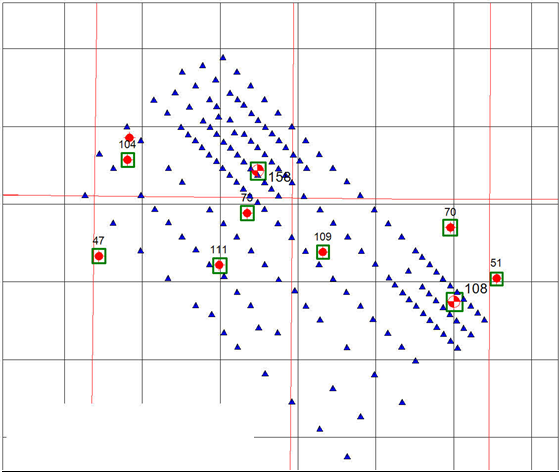
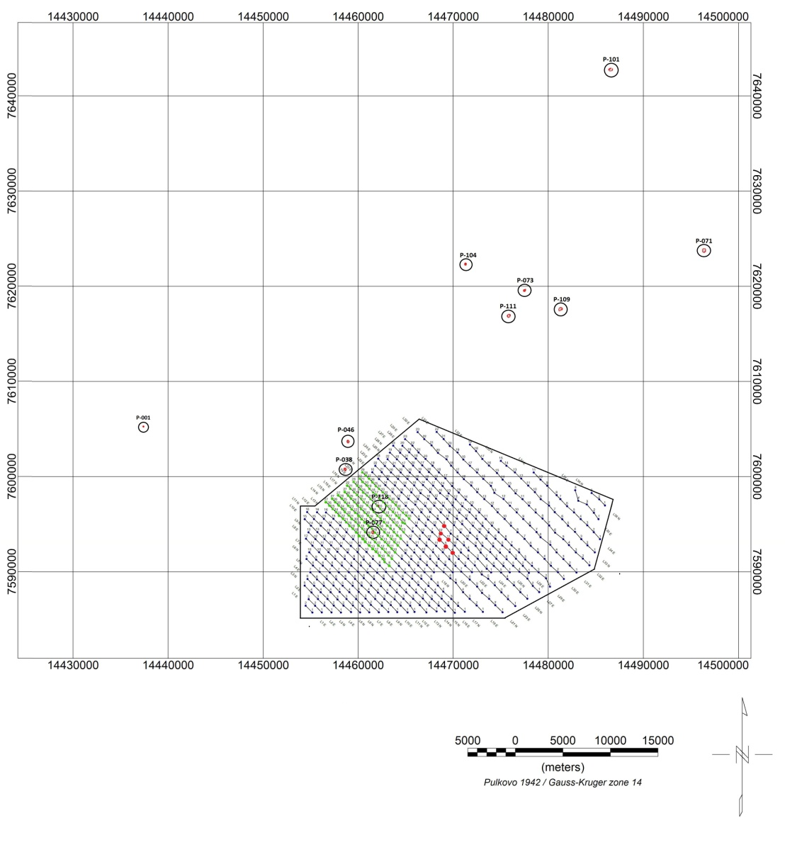
Схема наблюдений в 2013 году.
 — проектные скважины
 — пробуренные скважины
 — изучаемые скважины
 — точки геохимического пробирования
Целевое назначение работ — прогнозирование залежей углеводородов в районе скважин №158 и 108.
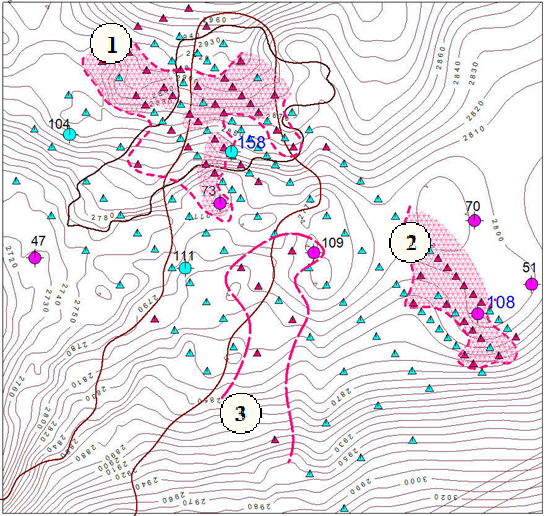
Результаты прогнозирования перспективных участков в 2013 г.
- Области наиболее устойчивых аномальных геохимических значений
- Контуры участков, перспективных на обнаружение скоплений углеводородов
- Геохимический индикатор наличия углеводородов:
- положительный
- отрицательный

Hexadecane — группа нормальных алканов

Limonene — группа биогенных соединений

IV ГК

Methylnaphthaline — группа ароматических углеводородов

p_Cumo l — группа ароматических углеводородов

Сумма элементов-индикаторов группы ароматических углеводородов
Результаты прогнозирования:
- Определены геохимические критерии перспективности изученного участка на УВ;
- Ограничены участки, перспективные на обнаружение скоплений УВ;
- На основании сравнительного анализа геохимических данных оценены перспективы проектных скважин №158ВМ и 108ВМ:
- Скважина №158 находится на периферии перспективного участка и не характеризуется промышленным насыщением (подтверждено бурением сразу после завершения работ в
2013 году.) - Скважина №108 является высокоперспективной на промышленный приток газоконденсата по аналогии со скважиной №51 (в результате бурения в 2014 году в пласте БУ16 вскрыты нефтенасыщенные песчаники)
- Скважина №158 находится на периферии перспективного участка и не характеризуется промышленным насыщением (подтверждено бурением сразу после завершения работ в
Полный цикл работ от начала полевого этапа до защиты отчета занял 3 месяца
Полевые геохимические работы в 2014 году.
Метод пассивной адсорбции. Схема геохимического опробирования в 2014 году.
- опробование с шагом 500 метров
- опробование с шагом 1000 метров
- не найденные геохимические пробы
- опробованные скважины
Целевое назначение работ:
- прогнозирование залежей углеводородов на площади работ
- уточнение местоположения проектных скважин 116 и 118
Объем работ:
- 165 сорберов по 10 эталонным и 1 проектной скважинам
- 594 сорбера по профилям наблюдения

Повторяемость результатов геохимического опробования по эталонным скважинам.
Непродуктивная скважина (по всем определенным УВ-элементам)


Повторяемость результатов геохимического опробования по эталонным скважинам.
Продуктивная скважина (по всем определенным УВ-элементам)
Сопоставление данных по продуктивным и непродуктивным скважинам.
Уровень содержания УВ компонентов в проектной скважине 118 существенно ниже чем в высокопродуктивной скважине 73 (по всем определенным УВ элементам).
- Скважина 73/104
- Скважина 118/104

Уровень содержания УВ компонентов в проектной скважине 118 ниже чем в ближайшей продуктивной скважине 77 (по всем определенным элементам).
- Скважина 77/104
- Скважина 118/104

Содержание УВ компонентов в проектной скважине 118 существенно ниже чем среднее содержание в 7 эталонных продуктивных скважинах (по всем определенным элементам).
- 7пр/3нп
- Скважина 118пр/3нп

Прогнозирование залежей в 2014 г. Метод гамма-каротажа.
Результаты геохимических работ в 2014 году.
- Отмечается сопоставимость результатов на эталонных скважинах, опробованных в различные полевые сезоны, что повышает достоверность прогноза;
- Выявленные элементы-индикаторы (2014) в значительной степени совпадают с элементами-индикаторами, выявленными в предыдущих работах (2012-2013);
- Проектная скважина №118 по данным геохимического опробования находится в неблагоприятной зоне, точка заложения нуждается в смещении;
- Плотность наблюдения на проектной скважине №116 недостаточна для достоверных выводов о ее продуктивности.
- На площади работ выделены геохимические аномалии, перспективные на обнаружение УВ.
Результаты геохимических работ на Восточно-Мессояхском и Западно-Мессояхском ЛУ в 2012 – 2014 годах.
- Отмечается сопоставимость результатов на эталонных скважинах, опробованных в различные полевые сезоны, что повышает достоверность прогноза;
- Выявленные элементы-индикаторы (2014) в значительной степени совпадают с элементами-индикаторами, выявленными в предыдущих работах (2012-2013);
- Проектная скважина №118 по данным геохимического опробования находится в неблагоприятной зоне, точка заложения нуждается в смещении;
- Плотность наблюдения на проектной скважине №116 недостаточна для достоверных выводов о ее продуктивности.
- На площади работ выделены геохимические аномалии, перспективные на обнаружение УВ.